
The sedimentation problem in Wright Patman Lake is not primarily because of erosion in the upper Sulphur River Basin but because of wind and water erosion in the lake itself, according to Mike Buttram, water quality specialist for the Sulphur River Basin Authority.
During a presentation he gave at the last SRBA meeting on Aug. 28, he showed pictures of severe erosion on the northern banks of the reservoir. It included photos of the water intake for the water treatment plant Digital Packaging, formerly International Paper, which showed extreme erosion at the bank.
"It is kind of scary," he said. "I think eventually, two more flood events, you're going to have a problem with that and you never know when those are going to happen. If that went out of business, we are going to be in trouble. The underpinning of that thing is washed out and it will be a problem eventually."
Other photos showed erosion at the top of bluffs because of severe flooding in 2016, when the lake reached a record levels above 254 feet.
"When it's up like that, you get a lot of wind action and a lot of bank erosion," he said. "A lot of the sedimentation showing up in Wright Patman Lake is due to the erosion of the banks and it is a major problem for the lake."
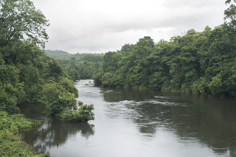
Buttram also showed a slide of uprooted trees lying on the banks of the reservoir near Rocky Point.
"It's amazing how many trees it took out," he said. "This was in a three or four month period. That's what erosion does. It attacks real aggressively and then goes away for a while."
Volumetric studies on the lake have shown it is filling rapidly with sedimentation. It was previously thought much of it was coming from severe erosion of farmland in the upper Sulphur and, in particular, a portion of it which was channelized years ago. Buttram said there is some sedimentation coming from there, but that is not the primary source. He said that there is a log jam halfway down the Sulphur River Basin watershed and, that at that point, the slope of the land changes.
"Slope determines how fast the water is going to flow, and that determines how fast you're going to get erosion," he said. "I've come to the decision you're not getting a lot of the sedimentation from upstream. Most of the sedimentation we're seeing is coming from the lake itself."
There are things that can be done to reduce the smaller amount of sedimentation from the river before it gets to the lake, he said. These include putting in riparian buffers, which are vegetated areas near a stream that protect it from adjacent land uses.
"The Sulphur River Basin Authority needs to begin directing how we're going to protect the water in the basin," he said. "It's something that can be done, but you've got to go into these farming areas and protect the streams and putting in terraces, do drop structures and grass filter strips. I've seen some farms where the slope is incredible. You put in terraces and grass filter strips. Then you go look for sediment after a big rain and there's not any there. It protects it. These best management practices all need to go in the western part of the basin."
SRBA and Riverbend Water Resources District have collaborated to conduct a volumetric and sedimentation study on the lake to determine the current sedimentation levels.
The next SRBA meeting will be held at 1 p.m. Sept. 18 at the Mount Pleasant Civic Center, 1500 N. Jefferson, Mount Pleasant, Texas.