
Another flash flood watch has been issued for Texarkana and parts of Southwest Arkansas and Northeast Texas.
The alert starts today and is expected to remain in effect through late Saturday, according to the National Weather Service in Shreveport. Areas affected will mainly be south and east of Texarkana, according to NWS.
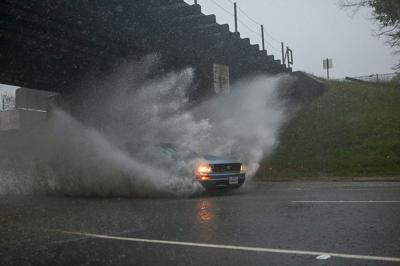
An additional 2 to 4 inches of rain will be possible across the affected area during the watch, with isolated higher amounts possible.
This excessive heavy rainfall will cause additional rises in area lakes, rivers, creeks, bayous and reservoirs. Many of those creeks and rivers remain very high from previous rainfall.
The weather service encourages area residents to monitor later forecasts and be prepared to take action should flash flood warnings be issued.
UPDATE
- Power outage
Approximately 70,000 SWEPCO customers were without power Wednesday after severe storms rolled through the Ark-La-Tex and destroyed utility poles.
By Thursday afternoon, 23,600 customers in Texas, 14,700 in Louisiana and 500 in Arkansas remained without power.
More than 300 SWEPCO are helping with the restoration and rebuilding.
- Tornado report
The National Weather Service in Shreveport has not confirmed whether a tornado touched down Wednesday near Linden, Texas.
"So far it's not conclusive. It was a big line with a lot of wind so it's certainly possible. We will talk to people in Cass County and try to get a good confirmation," said Mario Valverde, a meteorologist with the NWS.
A number of trees were down in Cass County and there were numerous power outages after the storm.
Crews with the weather service will be out today and in following days surveying potential tornado damage in several locations. Locations include north of Marshall in Harrison County, Panola County along the Caddo Parish line and Columbia and Union counties in Southwest Arkansas.
Valverde said the strongest storm started in Harrison County, moved north to Marshall and then traveled along Caddo Lake.
"We will post official NWS storm survey reports as the surveys are completed," Valverde said,
Cass, Bowie and Miller counties were all under tornado warnings shortly before 2 p.m. Wednesday. The three counties also experienced flash flooding.